Understanding the delta’s water
Permanent channels and seasonal floodplains belong to the same living system. Begin with the landscape before choosing a date or a camp.
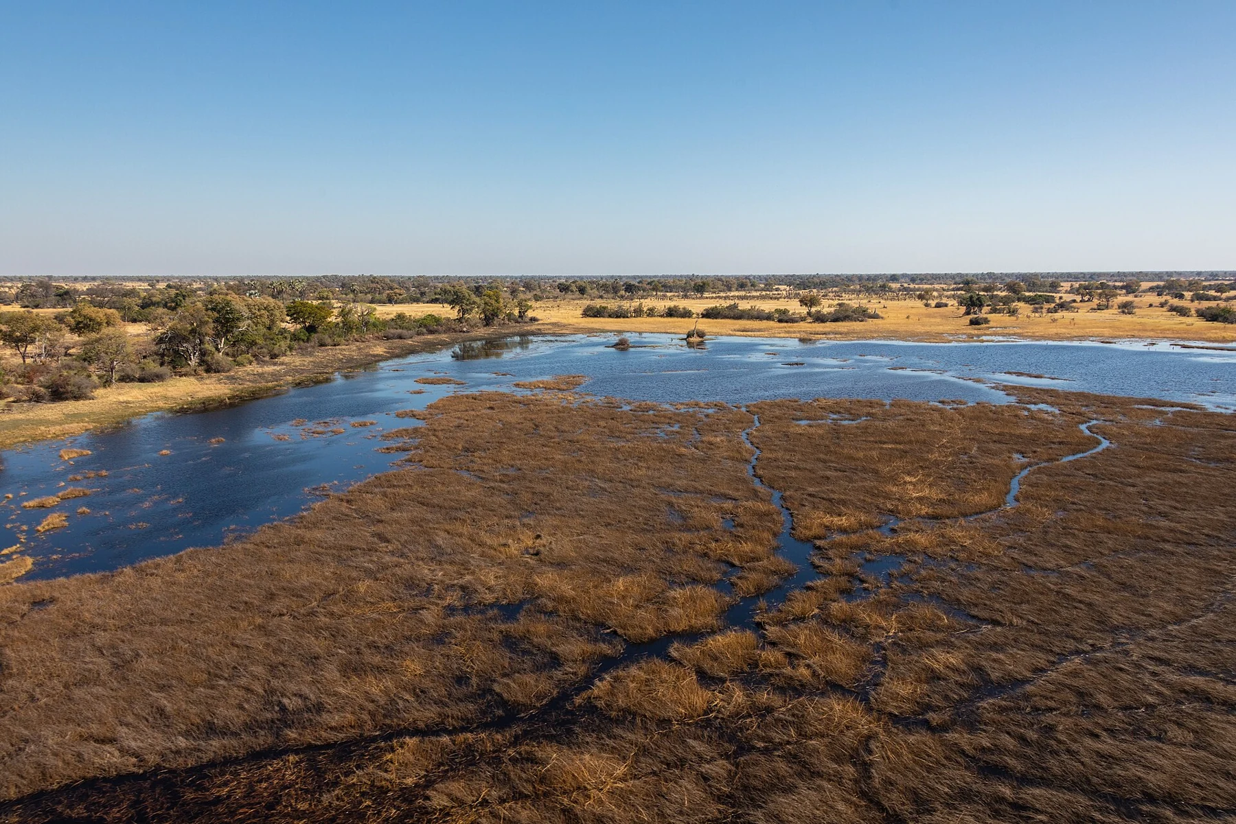
The Okavango is an inland delta: its water spreads across a landscape of channels, islands and floodplains rather than reaching the sea. That distinction is a useful starting point for a visit. An aerial view can help explain the larger pattern, while time at water level reveals the edges that disappear into that distant perspective.
One delta, different conditions
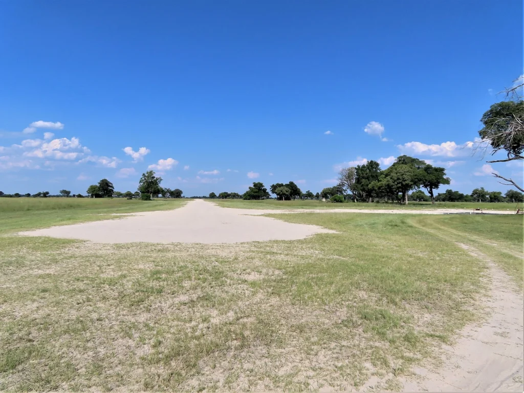
UNESCO’s description of the Okavango Delta distinguishes permanent marshes from seasonally flooded ground. Water does not arrive, recede or remain at the same level everywhere. A photograph of a broad lagoon and another of dry grassland can both represent this wetland honestly.
A season label is therefore only a beginning. Ask where a proposed activity takes place, what water is usually present there and what the operator is observing for your dates. A general country-wide weather summary cannot tell you whether a particular channel is usable.
Rain and flood are different questions
The river system receives water from beyond Botswana. The Okavango River Basin Transboundary Diagnostic Analysis explains that flood conditions reflect influences across the basin, with a delay between upstream flows and their passage through the delta. Local rainfall and the water level at a camp are related parts of a wider story, not interchangeable measures.
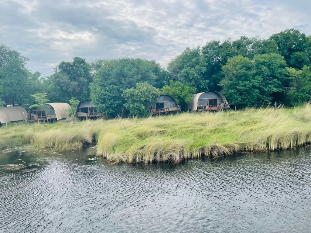
Use this distinction when reading accommodation descriptions. A property beside permanent water may offer a different mix of activities from a place whose surrounding floodplain changes more markedly. Confirm the actual programme rather than assuming that every listing described as a delta camp includes a water excursion.
Read a photograph carefully
- Look for the location and date before comparing two views.
- Distinguish a channel from a shallow flooded margin or open dry ground.
- Notice trees, reeds and islands as well as the amount of visible water.
- Ask whether the image shows the area you would actually visit.
Pictures in this guide retain their photographed conditions. An August aerial view is not a forecast for another August, and a March photograph is not proof of a water activity on your booking date. Their value is in showing how much variety fits within the same destination.
Turn the context into a plan
Choose one or two things you want to understand: channels at close range, a wider landscape view or the relationship between water and land. Then compare the styles of observation that could support those interests.
When choosing a base, ask what happens if conditions change. A clear answer about alternatives is more useful than a promise that the landscape will match a favourite photograph.