About the guide
Tourism Okavango Delta is an independent guide to understanding this wetland and making practical choices about a visit.
Water and land belong together
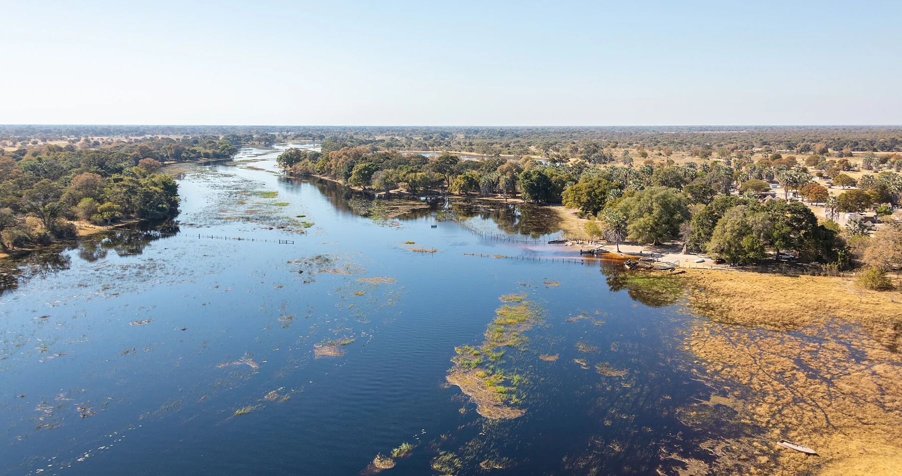
The delta is more than a single aerial view. Channels, seasonal floodplains and terrestrial habitats offer different ways to observe it. We connect that geographical context with questions about activities, accommodation and transfers, while keeping the gateway town of Maun distinct from the interior delta.
Our articles are written to support your own decisions. They are not fixed itineraries or promises about water levels and wildlife. Use them to prepare a more useful conversation with the operator, host or responsible authority who can confirm the details for your dates.
A clear relationship with sources
Primary institutional sources provide the geographical foundation for the guide. Linked sources within the articles let you continue the research. Their descriptions are not adopted as guarantees of current access, a particular activity or a future sighting.
We do not invent resident interviews, firsthand travel experiences or named contributors. The photographs show actual places and moments identified by their creators. They do not imply that a photographer, a pictured property or an organization endorses this website.
Using the guide
Begin with the water guide if you want the wider context, or compare water and land experiences before deciding where to stay. Check practical details with the responsible service before making a booking.
This is not a government tourism office or a booking operator. Where referral links are available, a qualifying booking may earn this site a commission. Read the complete supplier terms and choose according to your own needs. For an existing reservation, contact the operator or platform identified in your confirmation.
If a fact or link needs correction, use the Contact page and identify the relevant page and detail. The aim is a guide that is useful, specific and candid about what it can establish.
Photographs and credits
These images retain their individual open licenses. Changes are limited to resizing, file-format conversion and responsive crops. They show photographed conditions, not current operating information.
- Okavango Delta from the air, August 2018. Diego Delso / CC BY-SA 4.0. Resized; responsive crops may apply.
- Channels and wooded margins in the Okavango Delta, August 2018. Diego Delso / CC BY-SA 4.0. Resized; responsive crops may apply.
- Waterlilies and papyrus at Shinde Lagoon, March 2019. Cosal / CC BY-SA 4.0. Resized; responsive crops may apply.
- Waterside tents photographed in the Moremi area, April 2023; the precise property is not identified in the source. Mothusi Sekhomba / CC BY-SA 4.0. Resized; responsive crops may apply.
- Moremi at sunset, July 2017. Kristijrn / CC BY-SA 4.0. Resized; responsive crops may apply.
- Shinde Camp airstrip, March 2019; a photograph of the place, not a statement of current transport service. Cosal / CC BY-SA 4.0. Resized; responsive crops may apply.
- Xakanaxa in rainy weather, as identified by the photographer. Hp.Baumeler / CC BY-SA 4.0. Resized; responsive crops may apply.